Did you miss these publications? Two studies, developed with support from the ENHANCE project, show how the One Health approach can help local decision-makers and the private market manage coastal risks.
Coastal authorities already collect a lot of information: bathing-water quality, pollution levels, biodiversity, seafood safety, animal disease and human illness. The problem is that these signals are gathered and read separately, so it is hard to see how a change in one area affects the others. A pollution event, for example, may lower water quality, contaminate shellfish, close beaches and strain local livelihoods, yet each consequence is recorded by a different institution, in a different dataset, for a different purpose.
Two publications from the University of Thessaly, developed with support from the ENHANCE project, respond to exactly this problem. Together they answer three questions:
How has coastal and marine One Health research evolved over the past two decades, and where are the gaps?
Are human, animal and environmental health really being studied together?
Can a single framework assess the health of people, animals and ecosystems in a coastal area at the same time?
The two publications
One Health in Coastal and Marine Contexts: A Critical Bibliometric Analysis Across Environmental, Animal, and Human Health Dimensions – Alexandra Ioannou, Evmorfia Bataka, Nikolaos Kokosis, Charalambos Billinis and Chrysi Laspidou – International Journal of Environmental Research and Public Health, 2025.
The first maps more than twenty years of scientific literature, tracing the development of coastal and marine One Health research and identifying its gaps. The second proposes a conceptual framework for assessing human health, animal health and environmental ecosystem quality together.
Definition and origin of the One Health Approach
One Health has deep roots. The 19th-century physician Rudolf Virchow already argued that “between animal and human medicine there are no dividing lines”. The modern term took shape in the early 2000s, when international health and veterinary bodies formalised the idea that human, animal and environmental health must be addressed together. One Health is simply the recognition that these three are interconnected, and that each can be protected effectively only when the other two are taken into account.
One Health assessment framework for coastal areas
The second publication proposes a Coastal One Health framework built on three linked indices: a Human Health and Socio-economic Well-being Index, an Animal Health Risk Index and an Environmental Ecosystem Quality Index. Each draws on concrete, measurable indicators, such as bathing-water bacteria, seafood contamination, harmful algal blooms, antimicrobial-resistance markers and sea-surface temperature. Brought into a single structure, these indicators make it possible to see where environmental, animal and human health signals move together and where they diverge.
The framework is at the conceptual stage, with a pilot planned in the Pagasitikos Gulf in Greece, so it is not yet an operational tool. But it defines the structure that will now be tested, refined and adapted.
Why does this matter for decision-makers and the private market?
Local authorities and businesses working on the coast face the same practical problem: the environmental, animal and human health data they need live in separate systems, managed by separate institutions. This fragmentation makes it hard to answer basic questions, such as whether a drop in water quality is linked to a rise in shellfish contamination or to illness in nearby communities.
This is where the framework shows its value, for public authorities and for businesses alike:
For a municipal officer or a water-quality specialist, it means anticipating coastal risks and taking decisions on the basis of reliable, up-to-date data, instead of reacting after the fact.
For an aquaculture farm, it means being warned in time about harmful algal blooms, so the owner can protect the stock and avoid losses.
For a coastal fisher or a veterinarian, it means working with reliable data on the water quality and the environmental zoonotic risks of their area, instead of guessing.
This is the benefit the ENHANCE tools offer the private market and local decision-makers: a shared way to assess coastal health across its three dimensions, aligned with existing EU policy instruments.
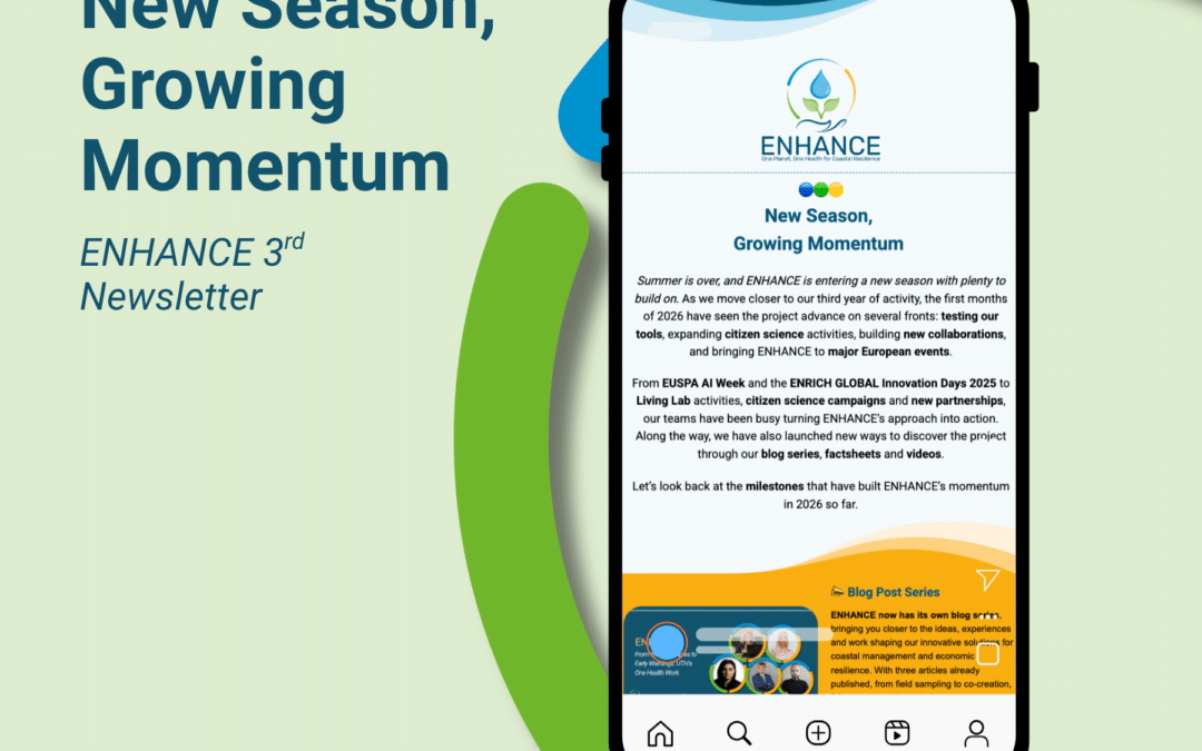
Our 3rd ENHANCE Newsletter is here, bringing you a snapshot of what has been keeping our teams busy throughout 2026, on the ground, at major European events and across our growing community.
🌊 From citizen science and biodiversity to AI, new collaborations and fresh content, there’s plenty to catch up on as we continue working towards healthier and more resilient coastal ecosystems through the One Health approach.
👀 And there’s more on the horizon! Get a glimpse of what’s coming next as ENHANCE approaches its third and final year, with important milestones and activities ahead.
👉 Ready to catch up? Dive into Newsletter #3 and discover what’s been happening across ENHANCE!
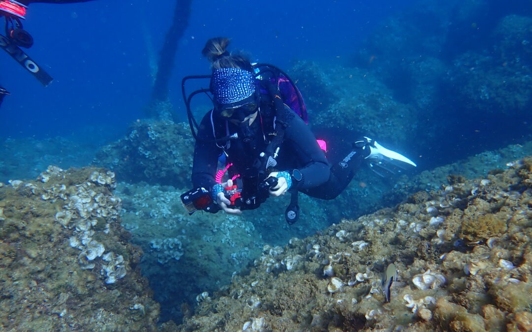
Citizen scientists have already documented 1,467 taxa along the Catalan coast through MINKA, with contributions from 282 observers and 76 identifiers. The records include 29 invasive alien species and 97 taxa with direct legal protection.
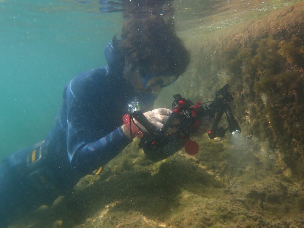
BioMARató 2026, running from 2 May to 15 October, has reached the halfway point with 46,920 biodiversity observations submitted to the BioMARató 2026 (Catalonia) project on the MINKA citizen science platform. The data, accessed on 29 July, cover 1,467 different taxa, including species and genera, and represent one of the largest verifiable marine biodiversity datasets generated through citizen science in Catalonia this year.
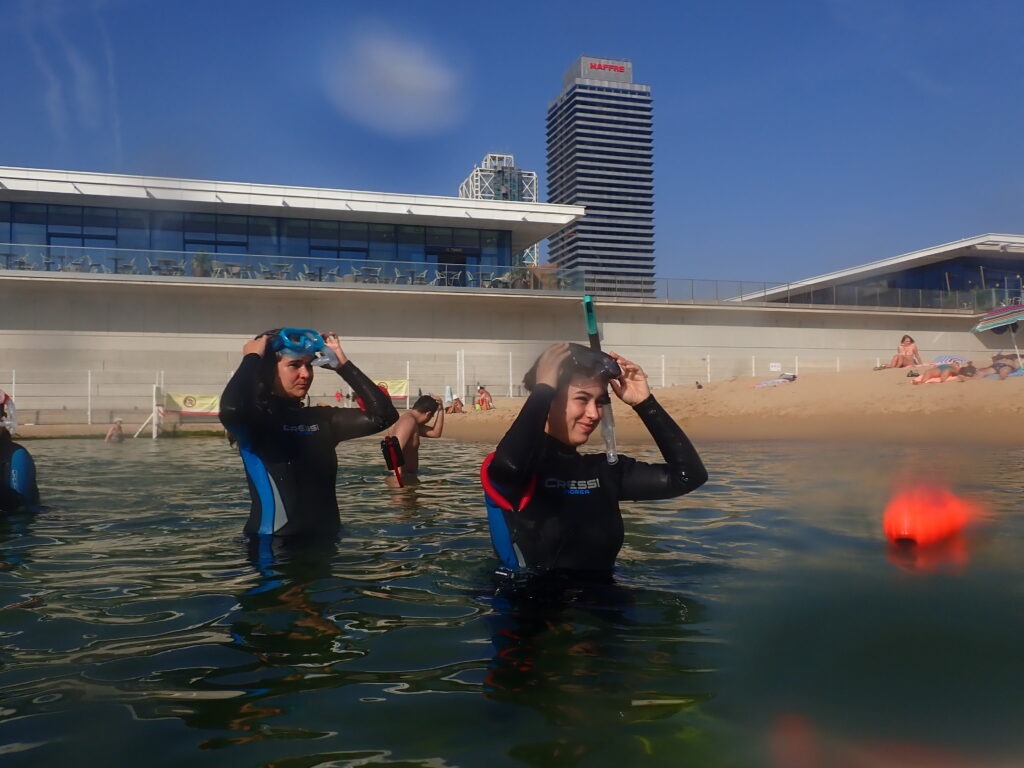
These results have been made possible by the involvement of hundreds of participants and the collaboration of the 2026 mobilising organisations: Federació d’Activitats Subaquàtiques (FECDAS), Anèl·lides Serveis Ambientals Marins, Plàncton Diving, Oceánicos, and All Blue Diving. So far, 282 accounts have shared biodiversity photographs on MINKA, while 76 identifiers have helped validate the records and improve their taxonomic identification. The initiative is supported by the EMBIMOS research group at the Institute of Marine Sciences (ICM-CSIC), which manages the MINKA platform.
The figures highlight the potential of citizen science to expand knowledge of the distribution of coastal and marine biodiversity. However, the number of observations should not be interpreted as a measure of abundance. It reflects participant activity and is influenced, for example, by site accessibility and by how easy each organism is to detect and photograph. Fish currently account for 41.2% of all observations, followed by molluscs (11%), cnidarians (8.2%), sponges (7.2%) and echinoderms (5.7%).
Citizen scientists record 29 invasive alien species
The mid-season dataset includes 784 observations of 63 species classified as alien, 29 of which are listed as invasive alien species according to EXOCAT and/or the Spanish Catalogue of Invasive Alien Species.
These observations are valuable for mapping the presence of alien species and detecting potential new hotspots. Although the number of observations does not correspond to the number of individuals or the area occupied, it provides a useful indicator for tracking these species over time.
Among the algae, the red alga Asparagopsis taxiformis stands out: with 177 observations, it is the most frequently recorded invasive species to date. A Mediterranean study associated dense stands of this alga with reduced habitat complexity and biodiversity compared with native algal forests. BioMARató data help document its presence and detection frequency along the Catalan coast. A further 20 observations of Asparagopsis armata, another invasive red alga, have also been recorded. Both species had already been reported in previous editions.
The Asian brown alga Rugulopteryx okamurae has been observed in the provinces of Barcelona and Girona. The species is included in the Spanish Catalogue of Invasive Alien Species and is covered by a national control strategy. Spain’s Ministry for the Ecological Transition and the Demographic Challenge (MITECO) notes that it can extensively colonise hard substrates and affect native benthic communities, making the mapping of detections particularly relevant. Observations of the invasive green alga Caulerpa cylindracea have also been recorded in all three coastal provinces.
Two invasive crab species are also noteworthy. Percnon gibbesi has been recorded 44 times. This alien herbivorous crab has spread rapidly across the Mediterranean, underlining the importance of continued monitoring. The blue crab (Callinectes sapidus), meanwhile, has been observed along the entire Catalan coastline.
Citizen observations have also documented numerous protected species. To date, 97 taxa with direct legal protection have been recorded under the Catalan, Spanish, European or international regulations consulted. Of these, four are listed as endangered and 20 as vulnerable. In addition, 23 taxa are included in Annex II of the SPA/BD Protocol, which covers endangered or threatened Mediterranean species.
Taxa listed as endangered include two brown algae that form underwater forests, Cystoseira foeniculacea and Gongolaria squarrosa, both included in this category in the Catalogue of Threatened Flora of Catalonia. These algae provide structure and shelter for many marine organisms. Among the birds, Audouin’s gull (Ichthyaetus audouinii) is also listed as endangered in Catalonia.
Two elasmobranchs stand out among the taxa included in Annex II of the SPA/BD Protocol: the spiny butterfly ray (Gymnura altavela, 14 observations) and the bull ray (Aetomylaeus bovinus, six observations). According to the IUCN Red List, the bull ray is assessed as Critically Endangered both globally and in the Mediterranean. The spiny butterfly ray is assessed as Endangered globally and Critically Endangered in the Mediterranean. These records are particularly significant given the high extinction risk faced by both species.
BioMARató has also recorded the common bottlenose dolphin (Tursiops truncatus) and the short-beaked common dolphin (Delphinus delphis), both listed as vulnerable in Catalonia, together with vulnerable coastal birds such as the common tern (Sterna hirundo) and the pied avocet (Recurvirostra avosetta).
Another highlight is the Mediterranean pillow coral (Cladocora caespitosa), a habitat-forming cnidarian listed as vulnerable in Catalonia, for which 121 observations have been collected. This volume of records demonstrates BioMARató’s capacity to document benthic organisms of conservation interest, not only large or easily visible species.
BioMARató 2026 remains ongoing until 15 October. Until then, organisations, institutions and individual participants can join the initiative, submit new observations and help document biodiversity along the Catalan coast.
How can we better understand and protect our coastal ecosystems? In our second thematic video, we take a closer look at the ENHANCE One Health Framework, the innovative approach that brings together human, animal, and environmental health into a single operational system for coastal management
By connecting data on climate impacts, pollution, biodiversity, marine life, public health, and socioeconomic activities, the framework helps uncover how pressures on coastal areas affect both ecosystems and communities. Built around three core dimensions—human and socioeconomic well-being, aquatic animal health, and environmental quality—it transforms complex information into indicators, risk indices, and early warning signals that support informed decision-making.
Developed in collaboration with local authorities, scientists, aquaculture operators, and communities, the One Health Framework enables more coordinated and effective responses to emerging coastal challenges.
Watch the video here or on Youtube to discover how ENHANCE is turning data into practical tools that strengthen coastal resilience and support sustainable coastal management across Europe.
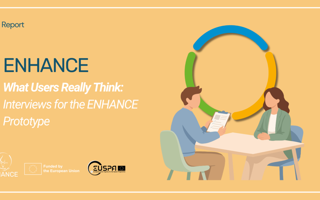
Six people. Two pilot regions. One prototype. Here is what came out of the ENHANCE user interviews about a prototype tool being developed for environmental observation.
The Tool
The interviewees were asked to explore an interactive visual prototype of the ENHANCE monitoring platform. It brings together citizen science data, remote sensing data and in situ measurements, combining environmental observations, scientific knowledge and community contributions into a single place. The idea is simple enough: give people who are living and working on the coast a clearer picture of what is happening in their local marine environment.
The six participants came from very different backgrounds.
From the Pagasitikos Gulf in Greece: the swimmer, an academic with strong ties to the local coastal environment and its communities.
The teacher, an educator living near the coast, representing citizen and community users.
The engineer, a researcher from the Volos region with direct experience of the area’s environmental challenges.
From the Barcelona area: the aquaculture expert, a researcher working directly with aquaculture producers in the Ebro Delta.
The scientist, an academic specialising in chemical exposure and its environmental health impacts.
The diver, an active citizen scientist who regularly monitors the Catalan coast.
Tech comfort levels ranged from 6 to 8 out of 10. Some already knew about the One Health and ENHANCE project, others had barely heard of either. That was the point. A tool that only makes sense to specialists is not going to get very far.
What People Liked
Navigation was not a problem. The aquaculture expert found the prototype straightforward to use, liked the colours and the custom notification system, and said they would recommend it to the farmers they work with.
The interactive map scored well. The scientist, whose research focuses on tracking chemical exposure and its health effects, appreciated that datasets were made available to different types of stakeholders rather than locked behind a single user type. The alert section stood out too. The scientist found it genuinely useful, noting it could serve researchers, health professionals and the general public alike.
The diver, who regularly monitors the Catalan coast and had experience with citizen science platforms, liked the map and found the quiz concept interesting. But what the diver kept coming back to was something harder to design: the feeling that you are part of a community rather than feeding data into a void. “The community aspect is the most important part,” the diver said, “to feel you are not talking to a machine.”
For the teacher, who works in education near the Pagasitikos Gulf, the early warning system stood out immediately. Receiving notifications about water quality was exactly the kind of practical information the teacher would want, and they were clear about the format: SMS, not email. As an educator constantly looking for ways to make environmental topics tangible for young children, the idea of connecting real coastal data to classroom learning made immediate sense.
The interviews also made the stakes concrete in a way that project documents rarely do. The swimmer lives near the Pagasitikos Gulf and recalled a 2023 pollution event: “After the event in 2023 I drove 70km to find a safe place to swim.” A tool that could have answered that question in five minutes would have made a real difference. The engineer, who was near Volos during the 2023 floods, put it plainly: “The 2023 disaster in Volos was a wake-up call.” These are not hypothetical scenarios.
Points for Improvement
The visual side of the prototype drew mixed reactions. The diver felt the interface was not yet attractive enough to invite curiosity and was missing the imagery that draws people in regardless of age or background. The teacher, thinking about what would work for children, was even more direct: not interactive enough, needs more pictures, and the colours on risk maps should be simple and intuitive, green to yellow to red. Both flagged translation into local languages as a basic requirement before the tool can reach the audiences it is supposed to serve.
The scientist raised the question of what happens before a user signs up. The teacher agreed: they wanted to understand what the platform offered and see the data before committing to registration. Asking people to create an account before they can see anything is a high barrier, especially for audiences who are not already motivated by the subject.
Terminology was another gap. The aquaculture expert pointed out that the bell icon for notifications was not immediately recognisable, and that the language throughout assumes scientific literacy that most users will not have. The scientist, who works with raw research datasets, flagged the tension from the other direction: “Researchers would be more interested in the raw data than in visualisations.” The platform cannot optimise for both audiences at once without making deliberate choices.
The aquaculture expert also brought the farmers’ perspective into sharp focus. Mussel producers face temperature spikes that can wipe out entire harvests, salinity changes after heavy rain, Blue Crabs moving into their waters, and storm damage to ageing infrastructure. What they need is information they can act on today, not this week. “Aquaculture farmers complain about everything,” the aquaculture expert said, “but if you ask them how research can help they say they don’t need anything.” Earning their trust requires showing the platform understands what they are actually up against.
Ideas to Build Upon
More images. That was the diver’s main suggestion. Visual content works for all ages and makes the platform feel alive rather than clinical. Lower the entry point rather than raising the bar.
The scientist’s ideas pointed toward depth for professional users: metadata, statistical data with time series, pictures of species, and dedicated information on chemical exposure. The alert section in particular could be expanded to help health professionals and researchers trace connections between environmental conditions and disease patterns.
The aquaculture expert’s suggestions were more structural. They proposed letting users customise their landing page by location and user type, adding mussel farm locations to the map, and making case study areas visible on arrival. Getting farmers to engage at all is the hard part. Once they are in, they benefit. The platform should make that first step easier.
The teacher saw a clear opportunity in the education angle. They suggested letting teachers select age groups within a dedicated learning hub, linking the platform to existing environmental initiative databases, and building in more interactive elements for younger audiences. Children learn better with engaging content, they said, and there are already platforms out there connecting people to environmental volunteering and local solutions. ENHANCE could link to them for collaboration.
The community angle came through from multiple people. The feedback loop between contributors, the sense of meeting people through shared observations, the idea that your data matters to someone: these were not nice extras but the reason people come back. That is worth building around.
Where Things Stand
Six interviews do not answer all questions but they do give great insights. The visual prototype works, the concept is credible, and the people who tried it could see the point. What needs attention now is the layer between the data and the person looking at it: clearer visuals, accessible language, a defined audience, and enough relevance to be useful on a Tuesday morning when a farmer needs to decide whether to harvest, a teacher is planning next week’s lesson, or someone just wants to know if the water is safe.
The insights gathered through these six interviews are directly feeding into the next stage of development. The ENHANCE team is taking on board every point raised, from clearer visuals and more accessible language to a better defined audience and stronger day to day relevance, as it prepares the first version of the platform expected in August and September 2026. If you would like to be among the first to test it, stay tuned: we will be reaching out to invite a wider group of end users to take part in the next round of validation. The more perspectives we hear, the better the tool will serve everyone who depends on a healthy, well monitored marine environment.
Based on user interviews conducted across the Barcelona and Pagasitikos Gulf pilot regions as part of the ENHANCE Horizon Europe project (2024 to 2027).
The Barcelona Metropolitan Area joins the global City Nature Challenge with more than 3,200 biodiversity observations through the MINKA platform
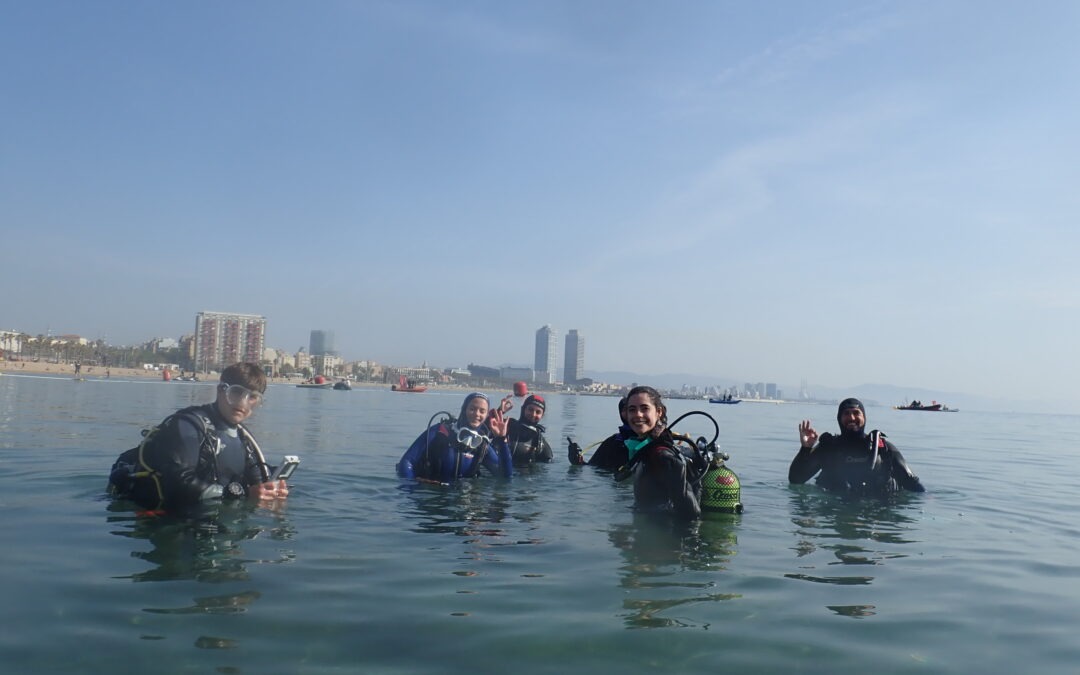
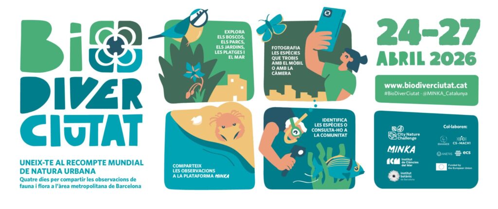
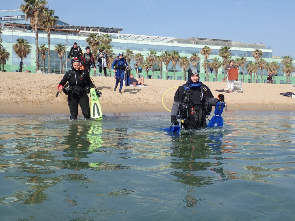
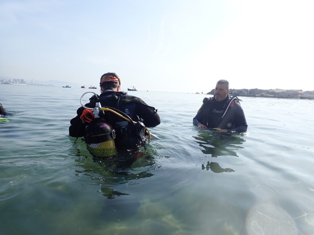
From April 25 to 28, the EMBIMOS research group from the Institut de Ciències del Mar (ICM-CSIC), together with the Institut Botànic de Barcelona (IBB), coordinated a new edition of BioDiverCiutat, the Barcelona Metropolitan Area’s contribution to the international City Nature Challenge. This was the first edition co-organised with the IBB, strengthening the collaboration between marine and terrestrial biodiversity research communities.
This edition of BioDiverCiutat was supported by the European projects ECS, ANERIS, CSMACH1 and ENHANCE.
During the four-day event, 53 participants recorded more than 3,270 biodiversity observations through the MINKA citizen science platform, documenting a total of 794 species across the metropolitan region.
According to the official City Nature Challenge 2026 results, the Barcelona Metropolitan Area ranked 204th worldwide in number of species recorded among the 754 participating cities globally. In Spain, 19 municipalities participated in the challenge, including Alicante, Pamplona, Sevilla and Zaragoza, among others. Barcelona once again ranked first in the country both in number of observations and number of species recorded.
The observations collected during the event reveal the remarkable biodiversity still present in urban and peri-urban environments. Marine species represented 57% of the documented biodiversity, while terrestrial species accounted for 43%. Plants were the most represented group, followed by insects and molluscs, especially marine molluscs.
New biodiversity records and notable findings
The BioDiverCiutat2026 dataset generated several significant biodiversity findings. A total of 90 non-native species were documented, including 35 considered invasive according to the EXOCAT information system for alien species in Catalonia. Among the most notable observations were the invasive Asian hornet (Vespa velutina), the Asian brown alga (Rugulopteryx okamurae), and the invasive coral Oculina patagonica.
The event also documented 42 protected species, including two threatened species listed under Catalan conservation regulations: Audouin’s gull (Ichthyaetus audouinii), classified as endangered, and the little owl (Athene noctua), classified as vulnerable.
In addition, 10 species were identified for the first time on the MINKA platform, most of them insects and marine molluscs. Several marine molluscs and algae represented particularly relevant records for the Barcelona coastline, including Elysia translucens, Goniodoridella picoensis, Tayuva maculosa, and the alga Dictyota dichotoma var. intricata.
The observations also highlighted the scientific value of citizen science for biodiversity monitoring. Of the 685 strictly identified species recorded during the challenge, 110 had not previously been cited in the Biodiversity Data Bank of Catalonia (BDBC) within the metropolitan area, while 11 species were not previously registered in GBIF for the same area. Researchers summarised these findings as six species newly recorded for the Barcelona coastline.
Credit: Andrea ComaposadaCredit: Andrea Comaposada
Urban biodiversity through citizen science
Despite restricted access this year to parts of Collserola Natural Park, which may have reduced terrestrial participation, the event documented a highly diverse range of organisms including plants, insects, molluscs, birds, fish, crustaceans, sponges, and tunicates.
The final dataset included:
284 plant taxa
109 insect taxa
85 mollusc taxa
67 bird taxa
52 fish taxa
27 crustacean taxa
15 sponge taxa
15 tunicate taxa
Globally, the City Nature Challenge 2026 brought together 106,354 participants across 754 cities in 61 countries and 6 continents, generating more than 3 million biodiversity observations and documenting over 75,000 species worldwide. The Common Dandelion (Taraxacum officinale) was once again the world’s most observed plant species, while the Mallard (Anas platyrhynchos) ranked as the most observed animal species.
About the event
BioDiverCiutat is a citizen science initiative that invites people to discover and document urban biodiversity through the MINKA platform. The event forms part of the global City Nature Challenge, an international competition encouraging cities worldwide to collectively record as much biodiversity as possible over four days. The initiative demonstrates the important role that citizens can play in biodiversity monitoring, environmental awareness, and conservation research.