BLOG: From Water Samples to Early Warnings: UTH’s One Health Work in ENHANCE
Introduction
Coastal communities depend on healthy seas for food, recreation, local livelihoods, biodiversity and cultural identity. At the same time, coastal waters face increasing pressure from floods, urban runoff, agriculture, tourism, aquaculture and climate change. In ENHANCE, the University of Thessaly (UTH) team is working to turn local water-quality measurements, fish tissue analysis, satellite observations and modelling into practical information that can support coastal management.
The work focuses on the Pagasitikos Gulf, a semi-enclosed coastal system in central Greece that was strongly affected by the catastrophic floods in Thessaly in September 2023. The key question is simple: how can we understand whether a coastal system is recovering, and how can we provide earlier warning when water quality begins to deteriorate?
Section 1: A recent scientific milestone: a Coastal One Health framework
A milestone for the UTH team is the publication of a One Health (OH) framework for coastal areas (Ioannou et al., 2025b) bringing the gap identified in their earlier publication (Ioannou et al., 2025a). OH means looking at human health, animal health and ecosystem health holistically, rather than treating them as separate issues. This is especially important after extreme events. Flood runoff can change turbidity and salinity, carry nutrients or pollutants, affect fish and shellfish, and influence bathing-water quality. A coastal-management system should therefore look at the combined picture, not only at one variable such as chlorophyll-a or temperature.
Section 2: From local evidence to early warning
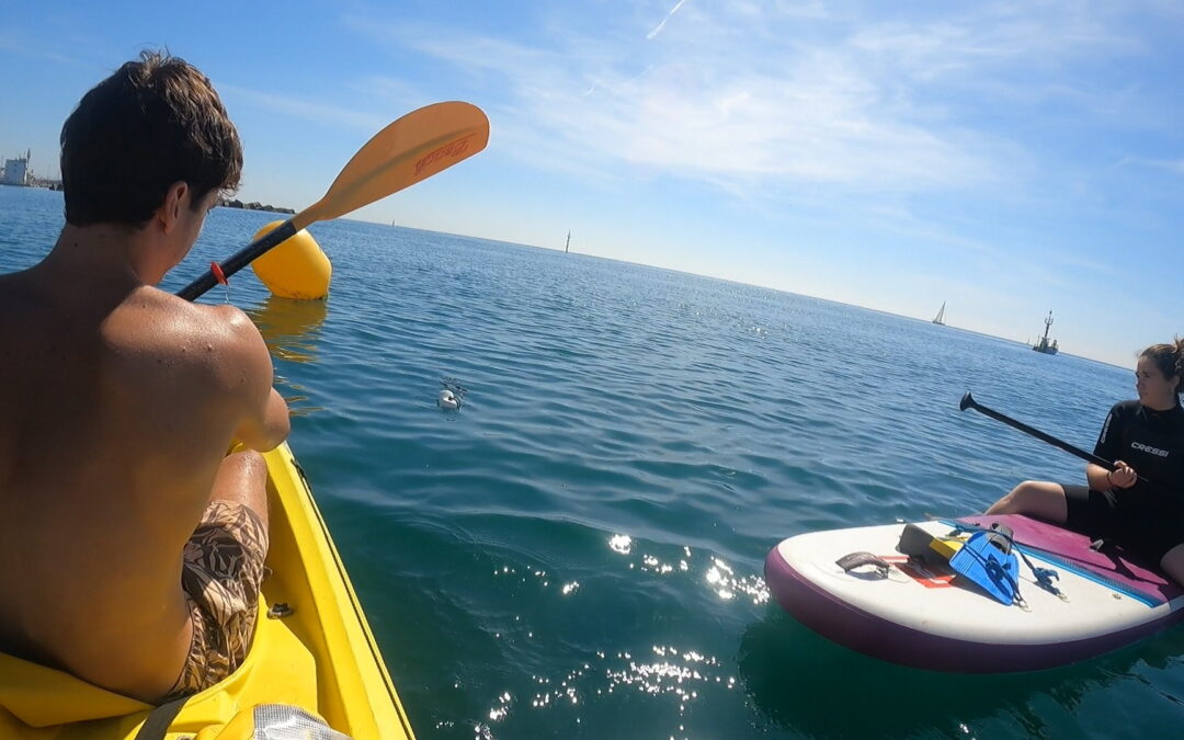
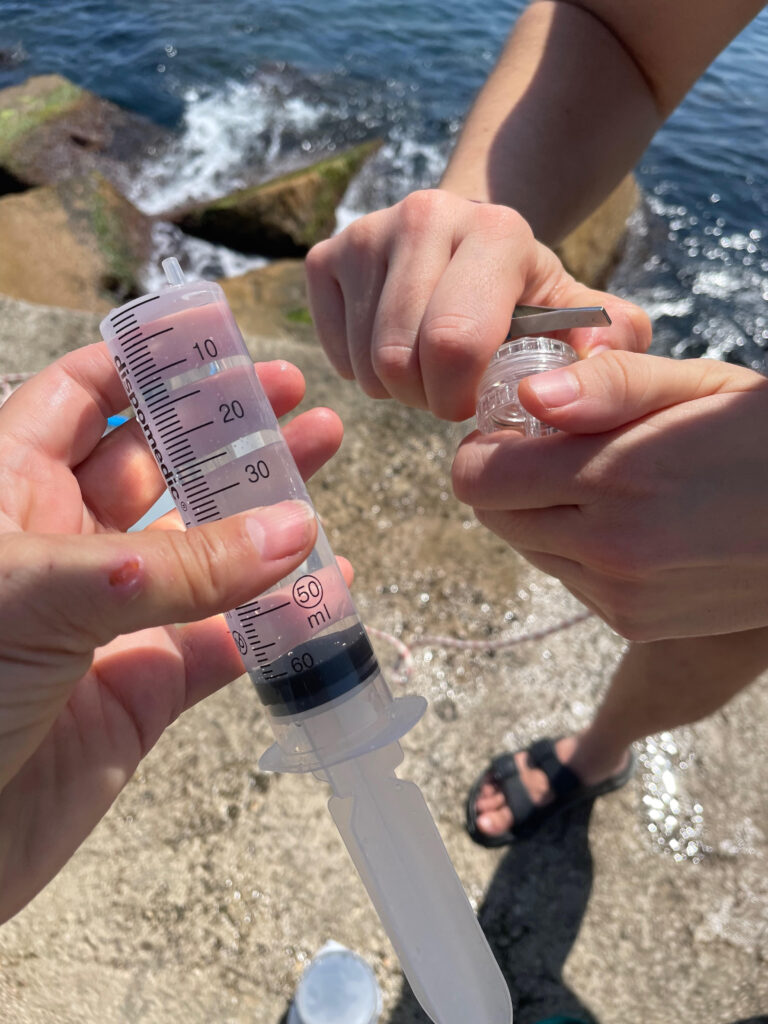
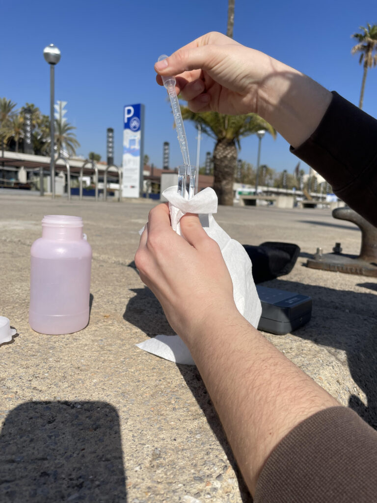
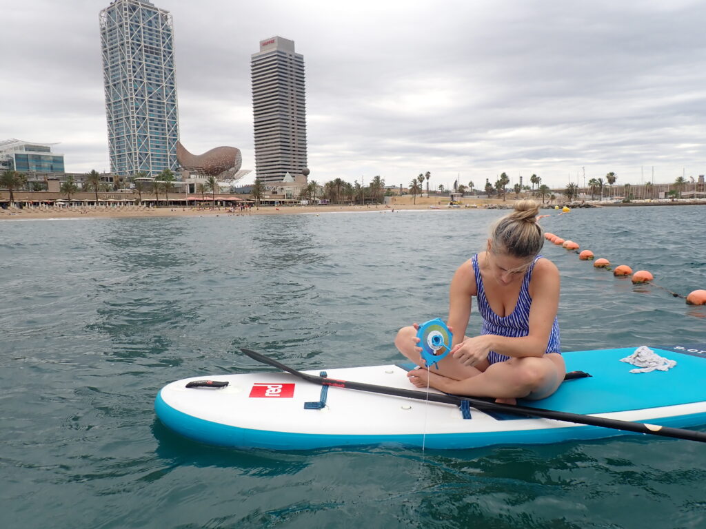
The first building block is field evidence. UTH collects water samples and in-situ measurements from the Pagasitikos Gulf to capture real conditions in the water. These measurements include pH, turbidity, salinity, sea surface temperature and laboratory-determined chlorophyll-a from water samples. Sampling is carried out at fixed stations and is coordinated with Sentinel satellite overpasses. Alongside the in-situ water-quality measurements, fish tissue analysis will also be carried out, adding an animal-health line of evidence to the OH assessment and helping link environmental conditions with biological information from the Gulf.
ENHANCE uses Copernicus and Sentinel data to produce high-resolution water-quality layers for coastal waters. For the Pagasitikos Gulf, satellite-derived values will be compared with UTH field and laboratory measurements. Linear and non-linear calibration models will be tested, because coastal waters can show complex relationships between sediments, algae, river inputs and shallow-water effects. The expected outcome is a better-calibrated set of satellite products for variables such as chlorophyll-a and turbidity, supporting faster detection of unusual water-quality changes across a wider area than field sampling alone.
Visual: UTH ENHANCE workflow from field sampling to early warning
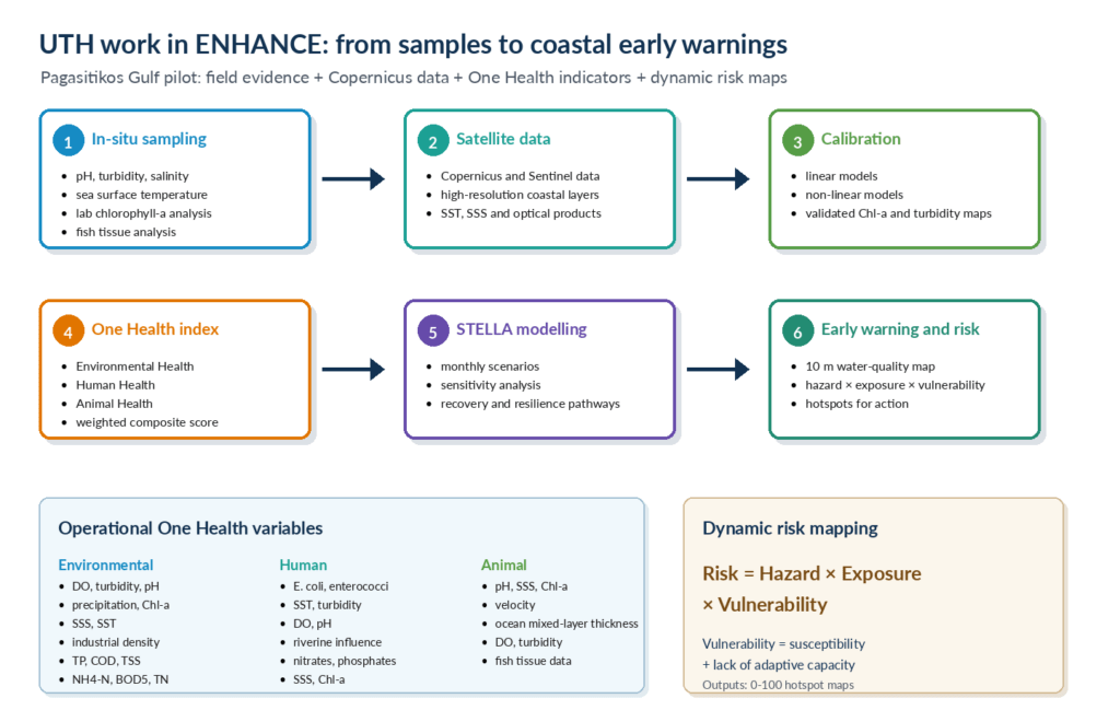
Figure 1. UTH workflow for the Pagasitikos Gulf pilot, combining in-situ sampling, fish tissue analysis, Copernicus satellite data, One Health indicators and dynamic risk maps.
Section 3: Operational One Health indicators
The published framework provides the conceptual structure; the ENHANCE pilot is adapting it for operational use in the Pagasitikos Gulf. The current OH indicator will combine variables from three connected dimensions:
- Environmental Health: dissolved oxygen, turbidity, pH, precipitation, chlorophyll-a, salinity, sea surface temperature, nutrients and organic pollution indicators.
- Human Health: E. coli, intestinal enterococci, temperature, turbidity, dissolved oxygen, pH, river influence, nitrates, phosphates, salinity and chlorophyll-a.
- Animal Health: pH, salinity, chlorophyll-a, water velocity, mixed-layer thickness, dissolved oxygen, turbidity and fish tissue analysis.
These variables are weighted and aggregated into a composite signal. The purpose is not to reduce a complex ecosystem to a single number, but to create a clear, comparable indication that can support discussion, monitoring and action.
Section 4: Modelling scenarios and risk maps
UTH will also contribute through system dynamics modelling in STELLA Architect, an approach suited to representing interactions between environmental pressures and their impacts. For the Pagasitikos Gulf pilot, the model will link rainfall patterns, riverine inputs and water-quality changes with ecosystem stress, bathing-water risks and management responses. Sensitivity analysis will identify the parameters that most strongly influence system behaviour, while resilience analysis will assess the system’s capacity to absorb disturbances, maintain key functions and recover after events such as intense rainfall, stronger river inflows or sudden water-quality shifts. Future scenarios will test how the Pagasitikos Gulf responds to extreme events: will the system break, or will it bend and bounce back? This work will support evidence-based decision-making.
The risk-map methodology complements the water-quality early-warning system. It follows a simple climate-risk logic: risk increases where hazard, exposure and vulnerability coincide. Hazards may include flooding, storm surge, extreme rainfall or sea-level rise. Exposure refers to people, infrastructure, tourism facilities, agricultural land and ecosystems located in risk-prone areas. Vulnerability captures susceptibility and lack of adaptive capacity. The final outputs can be presented as 0-100 risk maps, highlighting hotspots where monitoring, preparedness or intervention should be prioritised.
Conclusion
UTH’s work in ENHANCE demonstrates how coastal monitoring can become more integrated, locally grounded and actionable. Field sampling and fish tissue analysis generate site-specific evidence; satellite data expand spatial coverage; One Health indicators provide a structured way to interpret environmental, animal and human health signals; and system-dynamics modelling and risk maps translate complex information into practical guidance for decision-makers. By bringing these elements together, ENHANCE supports a broader goal: resilient Mediterranean coastal areas where scientific evidence helps safeguard ecosystems, animal health, public health and local livelihoods. The Pagasitikos Gulf pilot is therefore more than a case study; it is a living example of how a One Health approach can support coastal recovery, preparedness and climate resilience.
Further reading
Ioannou, A.; Bataka, E.; Kokosis, N.; Billinis, C.; Laspidou, C. (2025a). One Health in Coastal and Marine Contexts: A Critical Bibliometric Analysis Across Environmental, Animal, and Human Health Dimensions. International Journal of Environmental Research and Public Health, 22, 1523. https://doi.org/10.3390/ijerph22101523
Ioannou, A.; Bataka, E.; Kokosis, N.; Kofinas, D.; Billinis, C.; Laspidou, C. (2025b). A Holistic One Health Assessment Framework for Coastal Areas. Sustainability, 17, 9359. https://doi.org/10.3390/su17219359
Ioannou, A.; Bataka, E.; Kokosis, N.; Patsioura, G.; Laspidou, C. (2025). Development of ENHANCE One Health Framework for Coastal Management. ENHANCE Deliverable 2.1, Horizon Europe grant no. 10113447.
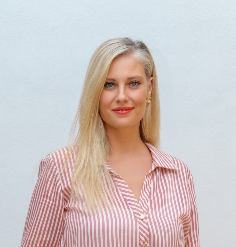
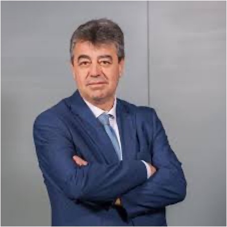
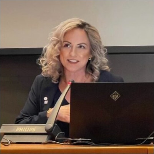
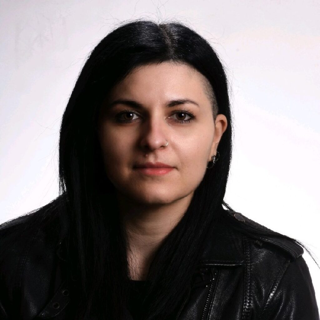
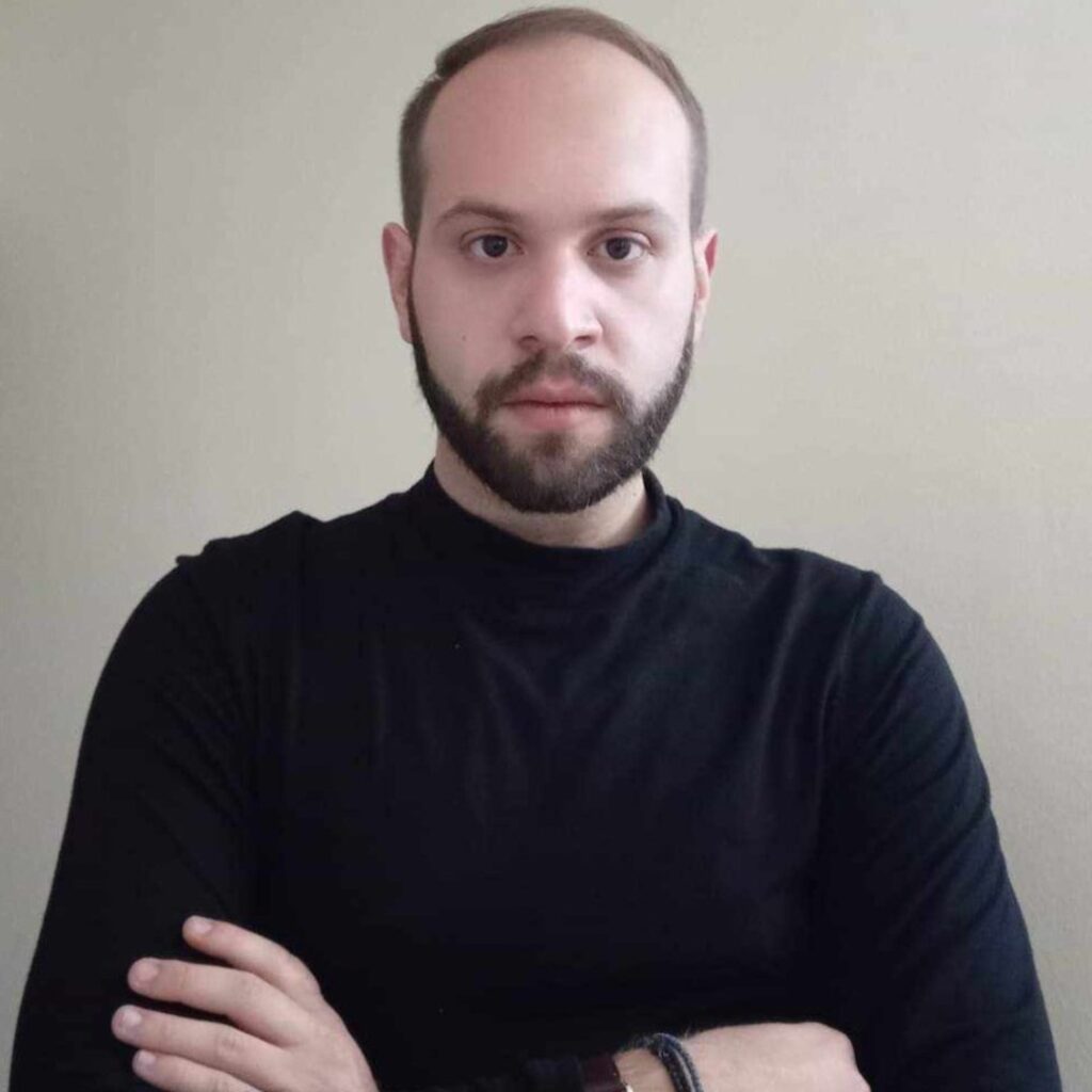
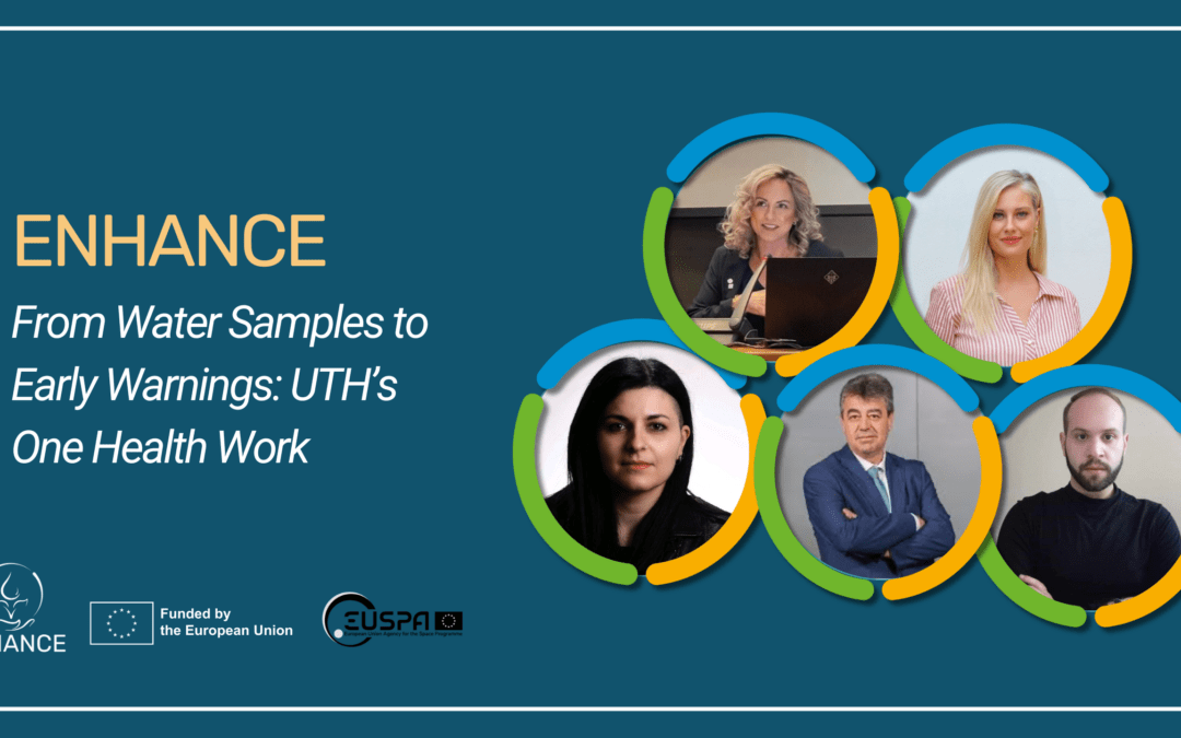
Figure 2. On the first row from the left to the right: Alexandra Ioannou, Charalambos Bilinis, Chrysi Laspidou. On the second row from the left to the right: Evmorfia Bataka, Nikolaos Kokosis.
Author(s) Bio:
- Alexandra Ioannou: Postdoctoral Researcher, Department of Civil Engineering, University of Thessaly. Within ENHANCE, Alexandra is responsible for developing and operationalising the Coastal One Health framework and composite indicator. Her work also includes system-dynamics modelling in STELLA Architect, sensitivity and resilience analysis, and future climate-change scenario modelling, with the aim of translating scientific evidence into decision-support tools for coastal management.
- Evmorfia Bataka: Postdoctoral Researcher, Department of Civil Engineering, University of Thessaly. Within ENHANCE, Evmorfia is responsible for the development of sampling protocols and water-quality indices, the implementation of in situ sampling campaigns in Pagasitikos Gulf, laboratory analyses, the retrieval and processing of data from Copernicus and local monitoring platforms, and the development of calibration models for satellite-derived water-quality products using local in situ data.
- Nikolaos Kokosis: PhD Candidate, Department of Civil Engineering, University of Thessaly. Within ENHANCE, Nikolaos contributes to the development of a multi-hazard assessment framework for coastal communities, focusing on the establishment of a geospatial database, the quantification and spatial representation of coastal risk, and the creation of thematic maps that support the identification of vulnerable areas and the prioritization of decision-making.
- Charalambos Billinis: Professor, Faculty of Veterinary Medicine, University of Thessaly; contributes veterinary and animal-health expertise to the One Health perspective.
- Chrysi Laspidou: Professor, Department of Civil Engineering, University of Thessaly; leads and coordinates UTH scientific contributions to ENHANCE.