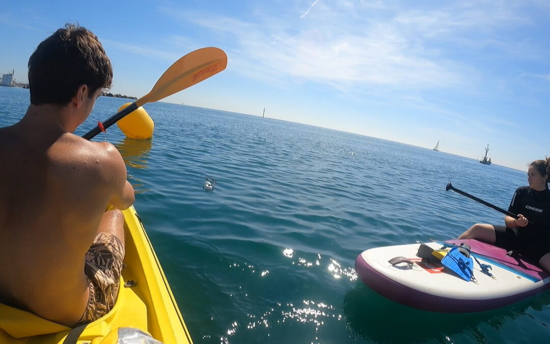
In mid-July, researchers from the Institut de Ciències del Mar (ICM-CSIC) teamed up with citizen science partners from Club Patí Vela de Barcelona for a coordinated field activity just off the coast of Barceloneta. The initiative was timed to coincide precisely with a Copernicus Sentinel-2 satellite overpass, allowing the team to collect in-situ water quality data at the exact moment the satellite captured imagery of the area.
By collecting water samples to measure chlorophyll-a (an indicator of algae levels) and assessing water transparency at the exact moment a Sentinel-2 satellite passed overhead, ENHANCE and its partners in the area are able to cross-check satellite images with real-world conditions. This approach helps validate satellite-based observations and strengthens the project’s One Health dataset for monitoring the environmental quality of Barcelona’s urban beaches.
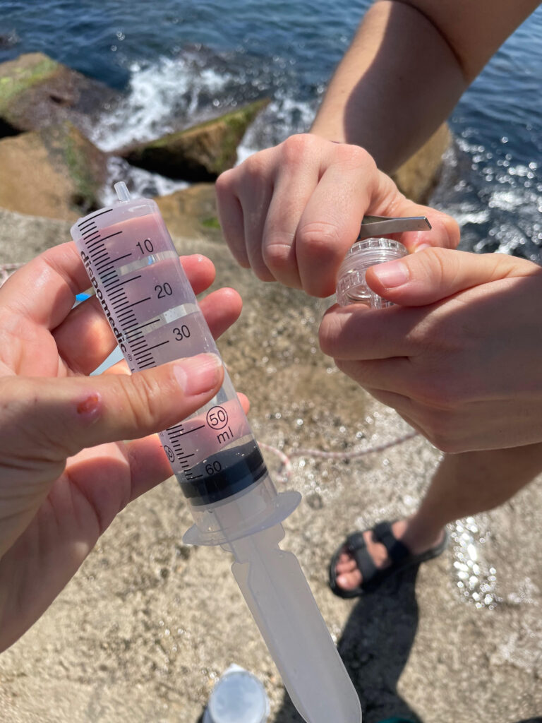
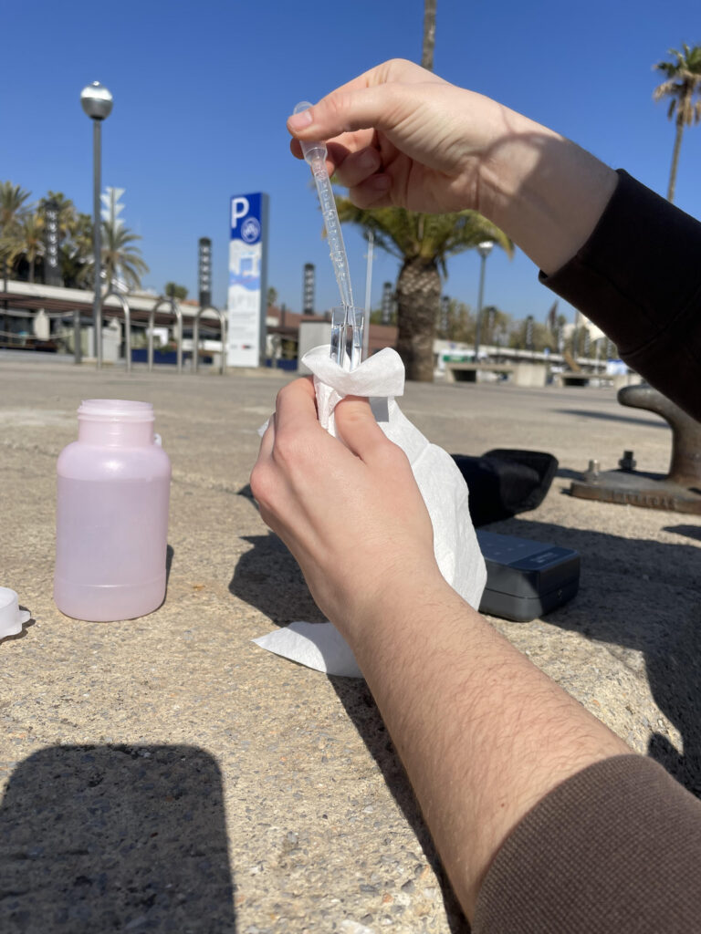
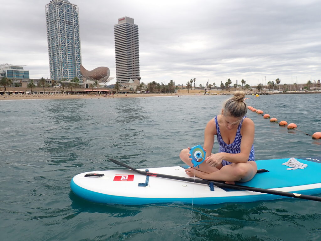
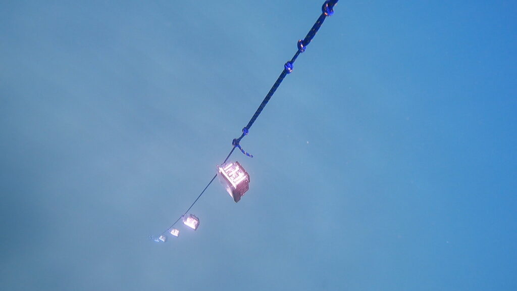
To collect the data, the team used a mix of traditional and easy-to-build tools. One of them was the Secchi disk, a simple white or black-and-white disk that is lowered into the water to see how deep it goes before disappearing from view — a basic way to measure water clarity. They also used the KduPRO, a compact and affordable optical sensor designed for citizen science, which measures how sunlight fades with depth to estimate water transparency more precisely (measured as the diffuse attenuation coefficient, Kd). In addition, the team collected and filtered water samples to analyze chlorophyll-a levels in the lab, helping to validate the satellite images with detailed, ground-based data.
Carlos Rodero, a marine biologist and PhD at ICM-CSIC, specialises in marine optics and citizen science. He develops low-cost DIY sensors to monitor water clarity, making science more accessible. As he explains: “These instruments are ideal for participatory science because they’re simple enough for volunteers to build and use. They help multiply the eyes on the sea and fill in the gaps where traditional scientific monitoring can’t reach.”
Eva Fló, a marine biologist and PhD at ICM-CSIC, has been studying marine water quality and human impacts on the ocean for over 24 years. Since 2018, she has focused on using satellite imagery — specifically ocean colour data — to track key indicators of water quality. Speaking about her work in the ENHANCE project, she explains: “Close to the coast, it’s harder for satellites to give clear readings because the signal can be affected by things like detritus or macroalgae. This is especially true in the Mediterranean, which is a shallow and nutrient-poor sea. By collecting data on chlorophyll-a and water transparency (Kd) directly under the Sentinel-2 satellite path, we can verify what the satellite sees and improve our understanding of coastal health.”
These on-site measurements help confirm the accuracy of satellite data and make it easier to detect early signs of algal blooms, pollution events, or sudden changes in water clarity. This kind of information is crucial for protecting public health, marine ecosystems, and managing coastal areas.
The sampling was made possible thanks to the support of the local partners, showing how even small businesses can play an active role in expanding coastal knowledge. Similar sampling campaigns are planned in the coming weeks and months, carefully timed with Sentinel-2 satellite overpasses — and always weather permitting — to continue linking satellite images with real-world conditions.
Want to know more about this case study? Check out the factsheet in English and Catalan!